
Search a Holly Springs Street
Begin a street-by-street search with the address or street name in Wake iMAPS. The map can return a property by address, street, owner, PIN, or Wake Real Estate ID, also called a REID. A whole-street result gives a practical starting set of parcels. It does not produce a confirmed roster of everyone who lives there. Instead, it connects the street to records held by Wake County and the Town of Holly Springs.
- Find one property by address, then record its PIN or REID, situs address, owner, and jurisdiction from iMAPS.
- Use the street-name results and map Identify tool to open other parcels along the street. Save each parcel identifier before moving on.
- Search a current owner in the Wake Register of Deeds CRPI as a grantee or grantor, then compare the deed's legal description and PIN.
- Use the North Carolina voter search to confirm one already identified person, not to assemble a streetwide list.
- For older occupants, consult the Wills-Smith and cross-reference directory titles in the Wake library catalog, then check the year and publisher key.
The result is a record trail, not a single definitive answer. Each parcel can have an owner of record, a different tax contact, and occupants who are not named in a land record.
Holly Springs Street Directory Fields
iMAPS is the fastest address tool for the Holly Springs street directory. Its official search guide recommends PIN or REID for an exact parcel. If an address misses, try a directional abbreviation such as S and South, use the street-name field, or zoom to the parcel and use Identify. Suggestions appear beneath the search box, and the selected property opens on the map with related property information.
| iMAPS field | How it helps by street | Result to preserve |
|---|---|---|
| Address | Finds a single street location | Situs address and parcel result |
| Street name | Lists or browses properties along a street | Candidate parcel set |
| Owner | Finds the current tax-roll owner | Owner spelling for deed research |
| PIN | Targets a parcel identification number | Parcel key for comparisons |
| REID | Targets a Wake Real Estate ID | Exact property record |
| Map Identify | Opens a clicked or long-pressed parcel | Adjacent parcel information |
A parcel map is informational, not a survey or title opinion. Compare the display with the county record when the street directory results will be used for family history, a property question, or a safety concern.
Wake iMAPS shows the address, owner, PIN, and parcel-identify controls used for Holly Springs street directory work.
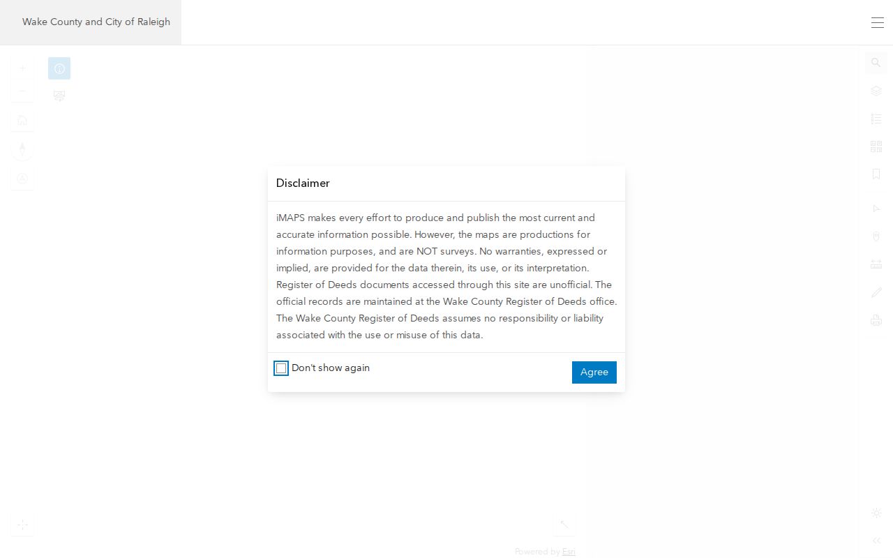
The map view is useful because nearby polygons can be opened one at a time rather than guessed from a subdivision name or ZIP code.
Holly Springs Situs and Mailing
One of the most important street directory checks is the difference between a situs address and a mailing address. The situs, or location address, is where the parcel sits. The mailing address is where the tax owner receives correspondence. A trust, estate, company, agent, or owner living elsewhere can make the two lines differ. That difference can document a connection to the land, but it does not establish that a named owner lives at the Holly Springs address.
- Parcel
- A mapped unit of land with a PIN or other county identifier.
- Situs address
- The physical location assigned to the land or improvement.
- Mailing address
- The address used for tax correspondence, which can be elsewhere.
- Plat
- A recorded map that may show lots, blocks, roads, easements, and subdivision details.
- Criss-cross directory
- An address-first directory section used to work from a street location back to a listed name.
Tax values, property class, and exemptions may add context. A homestead exemption can be consistent with owner occupancy, but it is not proof that every household member lives at the property.
Holly Springs Street Deed Chain
Once iMAPS supplies an owner and PIN, the CRPI is the documentary layer. Search the owner as grantee for a purchase and as grantor for a later sale. Narrow with a date range or a document type such as DEED, QCD, D-T, MAP, SUBN, or EASMT when the record calls for it. The index requires a grantor, grantee, date range, or book and page combination. Shorter name entries and the Sounds Like option can help with variants.
Open the instrument instead of stopping at an index row. Check the recording date, book and page, grantor, grantee, PIN, legal description, and the prior acquisition reference. A legal description identifies the land in the deed, while a street number is a helpful access point that can change. The legacy application makes recorded documents from July 1785 through April 17, 2025 viewable; the Register of Deeds launched a new Land Records application on April 21, 2025 for the transition.
The Register of Deeds disclaimer explains why the CRPI is an index and why spelling variants and the underlying instrument matter.
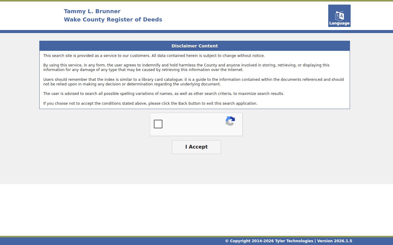
For a Holly Springs street search, the parcel's legal description and PIN are the safeguards against following a similar name to the wrong property.
Holly Springs Street Permit History
Permits can show activity at an address, but not a verified occupant list. Wake's legacy permit search covers records before July 1, 2018 and accepts applicant, permit number, owner, address, and PIN. Later Holly Springs planning, construction, UDO, code, and inspection activity is routed through Development Services and CityView. The public search path is different from account features used for submitting or scheduling.
Permit contacts can be an applicant, contractor, owner, or another role. Treat them as a record of project involvement. A permit neither proves ownership nor establishes who currently lives at the address.
Wake's legacy permit search displays the address, PIN, owner, and permit fields that can support a Holly Springs street directory timeline.
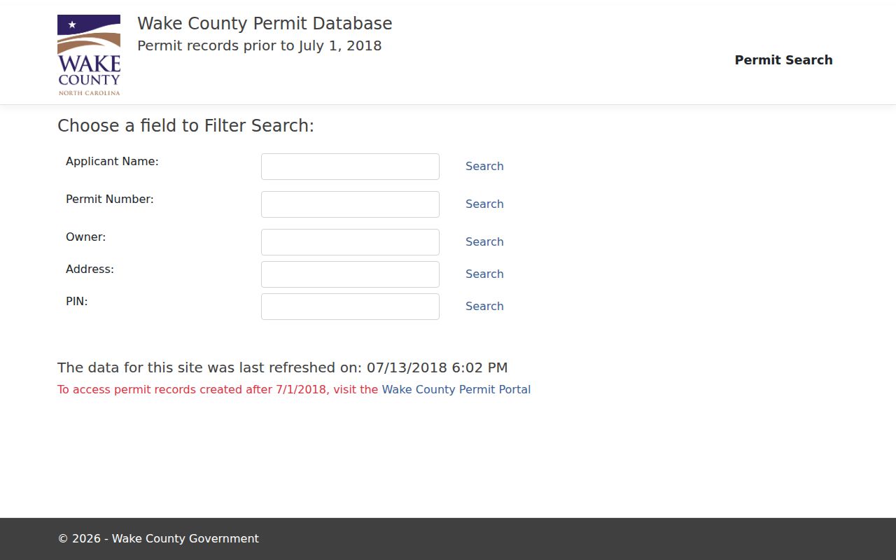
The date split is important: a pre-July 2018 result and a later CityView result come from different access channels.
Holly Springs Street Jurisdiction
A Holly Springs mailing address is not always inside town limits. The town explains that an extraterritorial jurisdiction, or ETJ, property remains outside the town, pays no town taxes, and cannot vote in town elections. It can still be subject to Holly Springs zoning and building rules. Wake County remains responsible for taxes, police, voting, nuisances, and stormwater in the ETJ, while Holly Springs handles development and zoning matters and some water or sewer questions.
Use the iMAPS jurisdiction label and the town's official map resources before tying a permit, service, or election result to a Holly Springs street. ETJ expansion does not change a mailing address or ZIP code.
Note: The jurisdiction check is especially useful near town edges, where mailing, postal, planning, tax, and voting boundaries can point to different offices.
Holly Springs Street Voter Limits
The North Carolina Voter Search is built for one named voter, not a simple street query. It requires first and last name, permits a middle initial and year of birth, lets the user choose Wake County, and requires at least one status option. It can confirm public registration details for a person already identified through another source. There is no street-name field in the public form.
Public voter data is subject to limits. Social Security numbers, dates of birth, driver-license data, registration-agency identity, and some military-overseas email information are withheld. Addresses can also be protected through qualifying orders or the Address Confidentiality Program. A removed or denied result is a status clue, not proof of current residency.
A streetwide voter set would require a lawful public-file route and careful treatment of redactions. It is not a reason to publish household lists.
Holly Springs Street Directory Past
For a past household, the Wake County Public Libraries catalog lists reverse titles including Wills-Smith Raleigh criss-cross directory and Cross Reference Directory. Start with the street address in the reverse section, then return to the alphabetical listing for the reported name, occupation or business, spouse notation, and other publisher-specific details. The abbreviation key belongs to that particular volume.
Holly Springs may appear as a village, rural route, township, post-office locality, or a nearby place in Raleigh-area directories. A missing entry is not proof of absence. The regional directory collections, newspaper microfilm, deeds, and census form a better historical sequence than any one source alone. The collection detail belongs with the Holly Springs city directory collections.
Note: For older addresses, compare the street name with owner, legal description, plat, crossroads, and nearby place names because no verified Holly Springs renumbering year was found.
Holly Springs Street Record Coverage
Address-keyed sources answer different parts of a street question. Preserve the PIN, REID, owner spelling, book and page, and date as you move between them. That small research log keeps a Holly Springs street directory search from merging two similar parcels or people.
| Record set | Street search key | What it can show | Access route |
|---|---|---|---|
| iMAPS property roll | Address, street, owner, PIN, REID | Owner, situs, mailing, values, jurisdiction | Current online map |
| GIS and zoning maps | Map click, address, parcel | Parcel geometry, adjacent lots, planning context | Wake and town maps |
| CRPI deeds | Grantor, grantee, date, book/page, type | Title chain and legal description | Legacy and newer land-record systems |
| Wake and town permits | Address, PIN, owner, applicant | Project or work activity and named roles | Legacy search and CityView |
| Criss-cross directories | Street and address | Historical occupant or business listings | Olivia Raney collections |
Voter records are a one-person confirmation source after a name is known. They are not a replacement for parcel, deed, or directory research.
Offline routes still matter when a screen result is incomplete. The Wake Register of Deeds maintains document and local vital-record services at the Wake County Justice Center, while Olivia Raney Local History holds deed microfilm, real-estate maps, and reference collections. The library catalog identifies Wake conveyance microfilm from 1785 through 1946 as well as later deed sequences. A book and page, PIN, and legal description make a counter or microfilm request much more precise than a street name alone.
Holly Springs Street Directory Limits
A public address record does not disclose every person in a household. Renters and other household members may not appear in the property roll, deeds, or voter search. DMV address data is restricted under federal law, and utility or delivery records are not public resident directories. Court, vital, and protected voter records have their own limits as well.
When a needed record is not online, ask the specific Wake County, town, clerk, Register of Deeds, or library custodian about an existing record. North Carolina public-records law does not require an agency to create a new streetwide resident list.